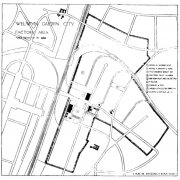
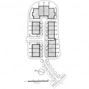
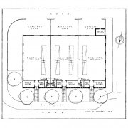
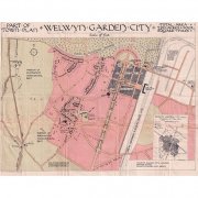
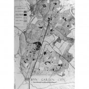
This album contains examples of drawings, maps & plans that went into the creation and development of Welwyn Garden City. The Trust is extremely grateful to Hertfordshire Archives & Local Studies (HALS) in Hertford, the WGC Library Local Studies Collection and Welwyn Hatfield Museums Services at Mill Green for allowing us to show these images.

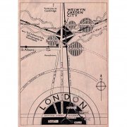

Map of Welwyn - with cover page designed by Charles Paine. The map itself was drawn by Louis de Soissons and it shows many of the factory sites located in the town as well as the housing and road layout. There is a street index on the left

Powered by Phoca Gallery

